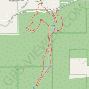
Latourell Falls Loop
Interactive map
GPS track profile
About this GPS track
Name: Latourell Falls Loop GPS track, route, trail
Coordinates: 45.53070 -122.22227 45.53947 -122.21674
Name: Latourell Falls Loop GPS track, route, trail
Coordinates: 45.53070 -122.22227 45.53947 -122.21674