Coal Canyon
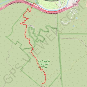
Interactive map
GPS track profile
About this GPS track
Name: Coal Canyon GPS track, route, trail
Coordinates: 33.83820 -117.69318 33.87295 -117.66926
Name: Coal Canyon GPS track, route, trail
Coordinates: 33.83820 -117.69318 33.87295 -117.66926