Lost Valley - Capitol State Forest
Interactive map
GPS track profile
About this GPS track
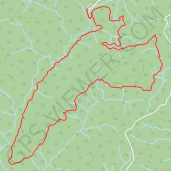
Name: Lost Valley - Capitol State Forest GPS track, route, trail
Start: Greenline, Thurston County, Washington, United States (46.93759 -123.13136)
End: Greenline, Thurston County, Washington, United States (46.93756 -123.13135)
Coordinates: 46.91218 -123.15022 46.93809 -123.11327